by chris | Nov 2019 | UK to New Zealand
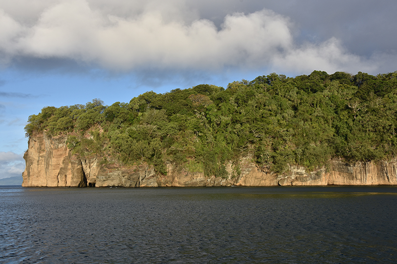
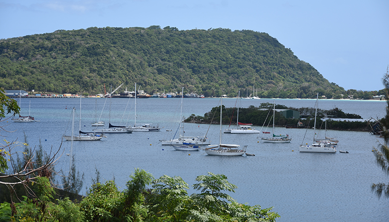
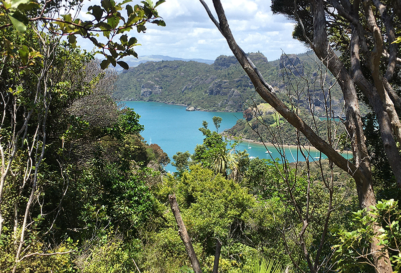
Vanihe bay
I had meant to leave Vahine Bay early for the passage to 48 miles to Espiritu Santo but I was awake very early indeed and failing to get back to sleep thought I would get up and leave anyway. So by 3.30 I was underway, still dark of course but no problems or dangers leaving the anchorage in this bay. Following the coast westwards I just needed to keep far enough offshore to avoid the Minerva reef. I had put a waypoint in the plotter to assist here. Later as the light grew I was joined by a group of dolphins, always a delight this. It had started calm and so motoring but gradually the wind filled in SE 12-15 knots. It looked like I might be in for some rain squalls as we were heading for a line of them. Somehow though we managed to slip though, one passing in front and the next just passing behind. Much later I was approaching the Diamond passage which gives access to the big lagoon between the outlying islands and the main island of Santo itself. The passage was hard to make out from a distance but became clearer as we neared, helped by the prominent rusty wreck of a freighter on the reef of the southern point of Aise island. Diamond passage proves no difficulties at all it being wide and deep. Inside I turned south, thinking to anchor at Palikula bay. The approach was complicated with a narrow and shallow entrance between unmarked reefs, just the water colour to guide you where the reefs lay. I got through the first set and anchored in the recommend outer position. I could see a boat at anchor in the inner bay but I didn’t fancy the way through without a spotter on the bow. I didn’t like where I was, it was calm but a long way from shore and surrounded by reefs I felt trapped. I made a cup of tea and had a bite to eat to recover my composure then weighed anchor and very carefully retraced my path in. Out clear I could breath a sigh of relief and head up to anchor north of the Diamond passage in the lee of Aise Island where I had a very peaceful night.
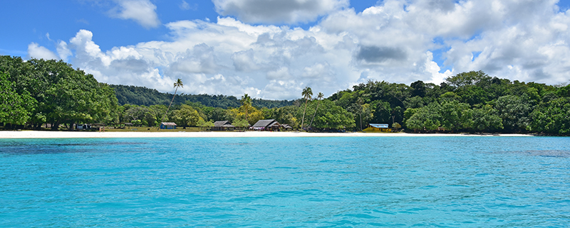
In the morning I decided to visit Hog harbour and Champagne beach apparently the finest beach in Vanuatu. Exiting through the Undine passage I headed north up the coast, it turned out to be a sunny day with barely any breeze to help us on our way so we motored for a large part.
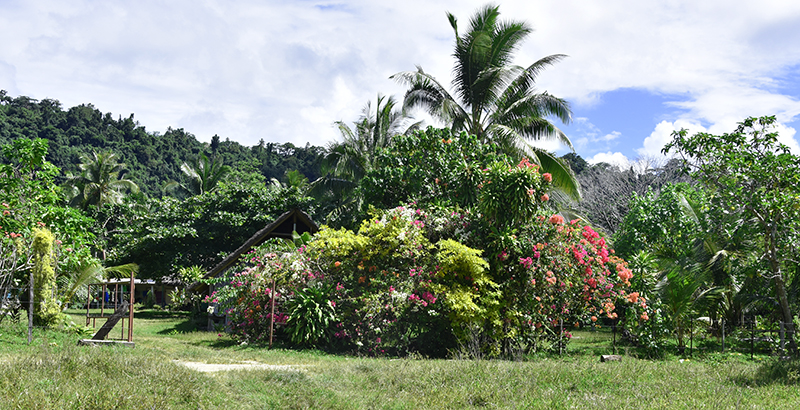
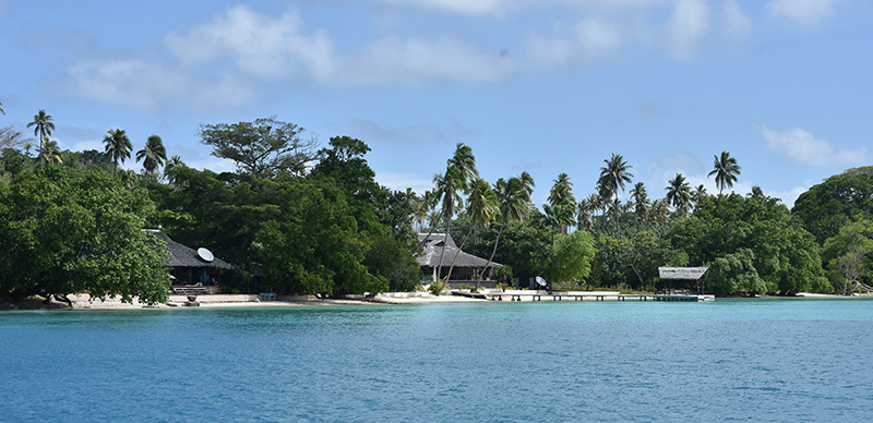
Turning into the large bay of Hog harbour past Lathu island I anchored off Lonnock beach. There were a 4 boats anchored here already and it took a while to find a suitable clear patch of sand between the coral to anchor. I spent a few days here, swimming, a walk to the village, a visit to the very low key resort ashore where I treated myself to a meal.
Hog harbour
Of course I visited champagne beach in the dinghy. I found it a bit spoilt really with buildings by the beach built to cater for the tourists and jetty for the cruise ship launches.
Champagne beach
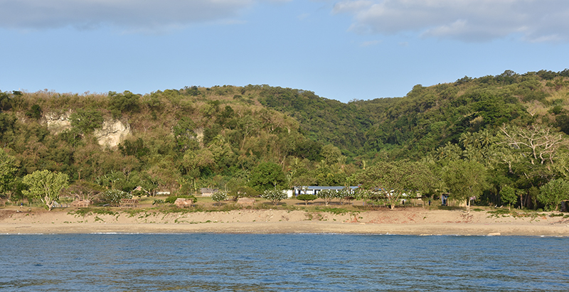
When I left I had a hard beat back against strong SE’erlys to Aise island. This time I anchored south of the shallow patch and this was a better spot than previously. I could could creep further inshore, there was more sand , fewer bommies and I found a good spot in 6m.
There was a small (but still bigger than Sea Bear) yacht inshore of me inhabited by a French man from New Caledonia, a true “vagabond du mer” he was. We had a long chat.
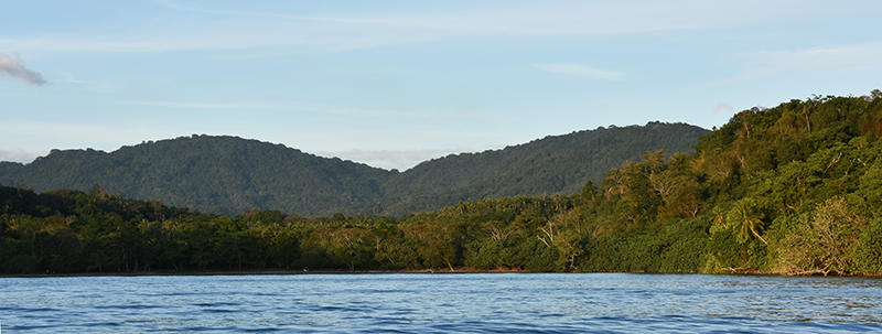
There was a strong wind warning out which persisted fro several days so although I wanted to keep on moving it would not have been good to go to the anchorage at Luganville which is quite exposed to SE & E winds. I did move across the lagoon to anchor at Surundu bay. Entry was through a fairly narrow passage in the reef but the seas were breaking heavily on both sides which at least gives you a good indication where they are. The deep water in the pass is fairly close to the northern reef so it was a little alarming passing so close to the breaking waves. Inside was lovely and sheltered both from wind and waves.
Surundu bay
I dinghed to the beach and hitched a lift in a pickup truck into Luganville, the second biggest town in Vanuatu where I could but some much needed supplies.
Luganville was the centre of American operations in New Hebradies during the 2nd world war and that legacy shows in the broad paved main street and a number of surviving consett buildings.
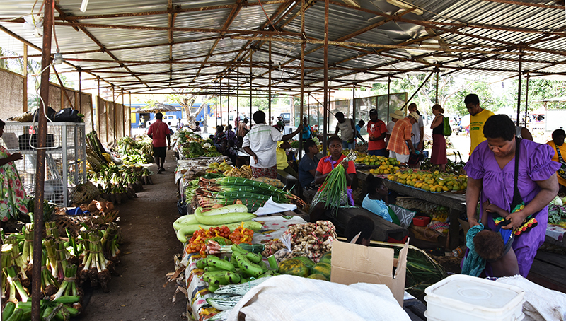
Luganville market
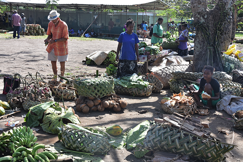
Luganville market
A few days later with the weather just a little not so rough I sailed around to Luganville via the Segond channel. The anchorage was a bit choppy but not too bad. I wanted to be here as this was around 14miles closer to my next objective of Malakula. This was about 35 miles away so an early start was in order. Dawn was just breaking when I left, a little way back up the Segond channel and I could turn round the tip of Aore island and head for the Diver strait between the islands of Abokisa and Tutuba. Here the wind seemed to be funnelling through the gap blowing had with a big swell so it was unpleasant for a while but through the strait conditions thankfully eased. With the wind from Se I couldnt quite set the course I wanted so I knew I would be in for a far bit of tacking. One tack S was sort of in the required direction but it gradually closed the coast so I had to tack E, not where I wanted to go to gain clearance. After several tacks I could clear the SE corner of Malo island and I know had a better slant on the wind as I headed out across the Bouganville strait towards the NW corner of Malakula. The only fly in the ointment was that it meant passing through the overfalls off Malo, but they looked worse than they turned out to be and I was soon through. Just after reaching and passing the North cape of Malkula the wind died, this wasn’t just because I was now in the lee of the island and it started to rain too, but it didn’t last long. A few more miles which seemed to take forever and I could head into Malua bay where I anchored in 7m off a brown sand beach. A fisherman in his dugout came to say hi and gave me 3 mangoes so I gave him some fishhooks and a lure.
It had been a tough day 48 miles logged and 10 hours sailing time.
Malua bay
Next day was another tough one tacking first S the E with a strong SE wind 20-25 knots and a big southerly swell running. I’d left at 6 but it was after 4 when I got into Lamboubou harbour. Distance logged 41 miles I was quite sure what conditions inside here would be like as it struck me that the swell would be running straight in, but my options were limited as if was about 20 miles to the next anchorage.
As it turned out although there was some swell running in it was much diminished and the bay was completed sheltered from the wind. In consequence Sea Bear swung on her anchor to align herself at first bow on to the slight swell and then later in the night when the tide turned stern too. There was no rolling just a gentle nodding to lull you gently to sleep.
Lamboubou harbour
That 20 miles to the next anchorage turned out to be 30 miles after all the tacking necessary and took me 8 hours. The tacks S were particularly unpleasant straight into a big S swell with the strong SE wind generating waves on top. The only small consolation was a group of dolphins playing around the boat for a while. Eventually however we gained the shelter of Metenover or SW bay, that is shelter from the waves and swell but not the wind. I dropped the hook in about 6m. I had been feeling grumpy about this hard passage as I hadn’t eaten or drank anything since the morning but I could now remedy that.

SW Bay
by chris | Nov 2019 | UK to New Zealand
For my time in SW bay, the weather was not good with strong SE winds and very rough seas with a bIg swell. It was better to stay and wait for better conditions. Eventually the forecast was for the wind to ease and go Easterly and the seas to calm a little. It was around 100 miles to Port Villa so at least a 24 hr passage. Weighing anchor early one morning I headed out of the bay and rounded the end of the reef of Ba Arum point before shaping a course for Efate. Grey at first the seas still fairly rough but throughout the day conditions eased some. I couldn’t quite make the correct course due to wind and waves so had to tack eastwards at some point. The night passed quietly with the wind having eased to easterly 15 – 17 knots, but shortly after dawn with Efate in sight I was virtually becalmed. Actually this did me a bit of a favour as under engine I could set a direct course which probably saved me a couple of hours. Rounding Devils point I crossed the bay and soon could pick up a mooring in Port Villa.
Port Villa mooring field
Here I could shower, drop of my washing, do some much needed shopping for supplies and have a coffee and a meal. I also needed some time to rest and then prepare for the passage to New Zealand. One of the chores was scrubbing the hull so that I might comply with NZ strict bio-security laws. I took 2 long mornings to do this, diving under the hull in a face mask armed with scraper and scotch pad, it is quite exhausting work. Checking the forecast it looked like there was fairly decent weather window coming up so I decided to leave on the Monday. First thing Monday then I took a bus up to the customs wharf to complete my clearance papers and pay the harbour dues. A bit of last minute shopping for bread and fresh veg and then it was time to pack up and stow the dinghy and cast off from the mooring.
I knew for the first couple of days I would have headwinds so would have to tack but was lead to believe by the forecast that the wind would go easterly then fall light maybe even calm before getting into westerlies near NZ. Trouble was as I was to find the forecast was nothing like the conditions I found. I did have to tack quite bit those first few days as I was getting pushed westwards and my rhumb line course was towards the SE/SSE. All this of course adds to the distance to be travelled and the time. 4 days out and I was close to the reefs and banks of the SE end of New Caledonia and my course was heading straight for the Banc de L’Orne forcing me to tack to the East to clear it. 8 days out and a ran into a calm patch so I motored for just over 24 hours to get through this. During this time I had the only rain of the passage. I had spotted a nasty looking rain cloud dead ahead so had altered course to try and skirt it. Looked liked I might succeed at one point but I either didn’t skirt it enough or there was no avoiding it anyway. Still wasn’t so bad, a brief increase in wind than torrential rain for 20 mins. Still it will have washed away some of the salt coating of Sea Bear.
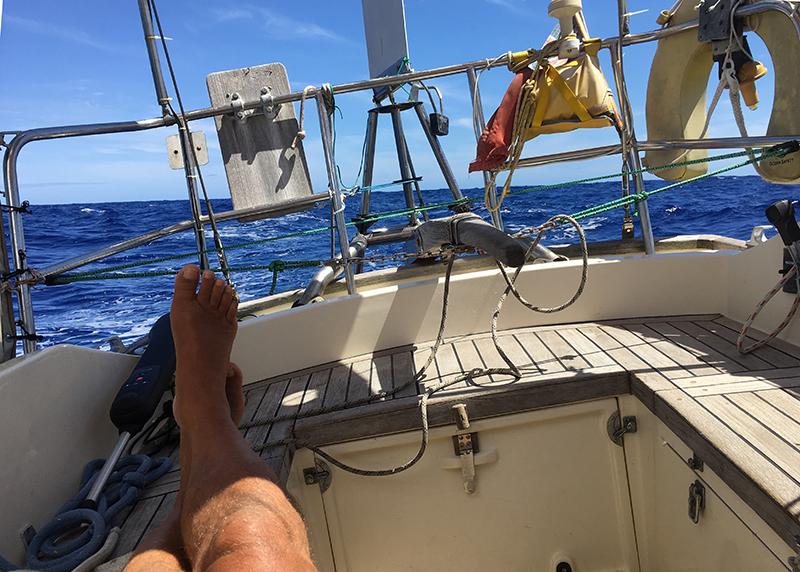
Relaxing on a benign day on passage
The wind returned so sailing again. The latch spring on the servo paddle of the wind vane steering gear broke so it was disengaged. It say something for Sea Bear’s sailing abilities she kept on her close hauled course no bother and that I only noticed that the tiller was steady whilst the wind vane altered. Peering over the stern the paddle was trailing uselessly in the water. I managed to re-engage the latch and lashed it shut.
10 days out and I was passed by another yacht and we had a chat over the vhf, mainly about the weather. We were less than 300 miles from New Zealand by now and should have been getting SW or W winds however we were faced with relentless strongish SE’lys. These persisted for some 5 days
My worst day was having logged 101 miles noon to noon I had only made 37 miles net gain towards NZ, next day 88 miles noon to noon but just 35 miles gained in the right direction. It was pretty depressing and I was feeling pretty low.
Eventually however just after dawn 15 days out I came within sight of New Zealand, at first the coast had coyly hidden its-self behind a bank of haze but it was gradually revealed. A big pod of dolphins came swimming around the boat, leaping out of the water as if to say welcome to New Zealand.
Just past Tikitiki rock at the entrance to the Bay of Islands a NZ customs rib came by for a few words. They said they were expecting me as they had picked me up on AIS and the customs would be ready for me at the quarantine dock. Some I was tying up at the dock and clearance into New Zealand proceeded.
It had been a tough passage, 1557 miles logged as opposed to rhumb line course of 1,100 miles and just short of 15 days, I was glad to get in and felt in need of a rest.
by chris | Jan 2020 | UK to New Zealand
I spent some time for rest in Opua. I also fixed the broken tiller bolt and replaced the broken latch spring on the self steering and bought a new dinghy as my old one was truely on its last legs. I dug out the bike and rode the twin coast cycle way to Kawakawa and back.
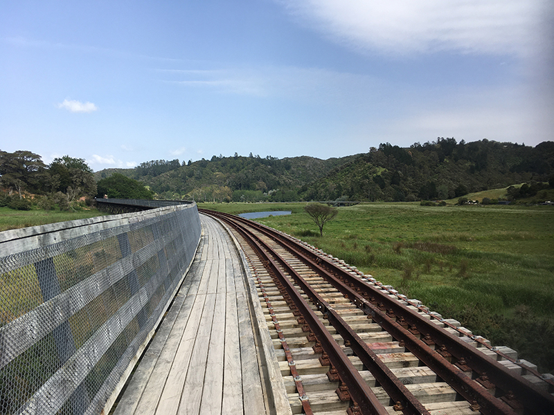
Twin coast cycleway
I also walked along the coast path to Pahai,
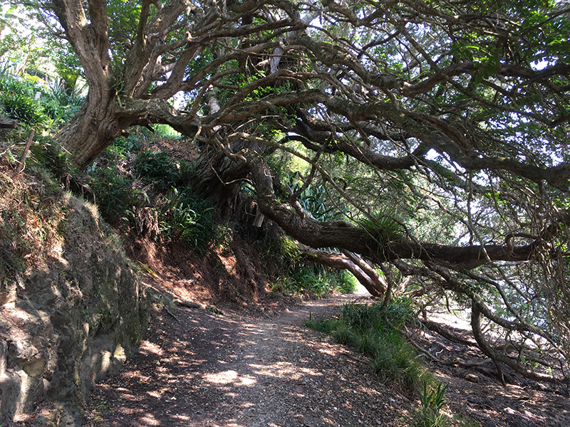
Opua to Pahia path
went to the thermal pools with Rusty John and also to an open mic night at the Russel boat club. I thought then it was time for more cruising and explore the Bay of islands.
View from Pahia
My first stop was Opunga cove, a nice place to relax. Then to Robinson bay, Motuarohia island. A very popular spot this with a nice walk up to an old Fortified Pa on the hilltop. Captain Cook had beat me to this place too and had a notable meetings with the Maori here.
Robertson Island
On to Pipi bay, Moturua island, this is a Department of Conservation island. They made strenous efforts to rid the island of all introduced pests, rats, possums and stoats and the bird life has recovered helped by re-introductions. There is a good walking track on the island which I took. Nice to to get a bit of a leg stretch.

Moturoa Island
The weather turned into strong SW winds of 25 – 30 knots so I moved across to Putakokota bay which was more sheltered but moved later as the wind seemed to be swirling around the headland and I moved a few miles to Parekura bay which offered better shelter.
By next morning the wind had died so I sailed across to Indigo bay Urupukapuka Island. Somewhat confusingly places often have multiple names. This bay is variously called Indigo bay, Otaia bay or Entico bay, take your pick I guess. Another DOC island again with several good walking tracks, I took the Cliff Pa loop and the Pateke loop tracks, very nice too with good views.

Urupukapuka island
Indigo bay Urupukapuka island
I didn’t stop in this bay overnight as the weather forecast predicted a wind shift to NW and strong winds so I moved to Orakawa bay and sheltered here from the blow.
Time to restock on supplies so I anchored off Pahai .Rowed ashore and walked to the supermarket to restock and buy some xmas goodies like a xmas cake, xmas pudding, mince pies and some wine. Pahai is not a good anchorage as its is far too rolly with all the wash from the ferries and sight seeing boats so shopping done I moved across to Pomare bay. It was pretty blowy for the next couple of days so I just stayed here.
by chris | Jan 2020 | UK to New Zealand
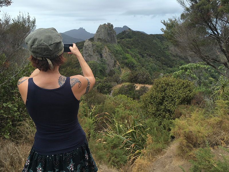
When the weather eased I left the Bay of Islands and headed north. Last year whilst touring in the van I had walked from Totara to Lane Cove and seen a boat anchored there and had wanted to visit the spot by boat ever since. My way north up the coast took me past the Cavalli Islands and I decided to take the Cavalli Passage, inshore of the islands. The Cavallis are the last resting place of the Greenpeace ship. After her sabotage & sinking by French agents she was salvaged and brought up here to be sunk as a memorial and a dive site. Heading past Flat island , then between Stephenson’s island and Frenchman’s rock and past Arrow rocks I could head into Whangaroa Harbour where I anchored in Waitepipi Bay. A spectacular spot this, surrounded by steep bush covered slopes with rock towers sticking above them including one called the Duke’s Nose.

Dukes Nose from Waitepipi bay
Next morning it being Christmas day I rowed into Lane cove landing at the little beach here and took my customary xmas day walk up the Duke’s Nose. The top section was a bit of a scramble but an iron railing was there to provide assistance.
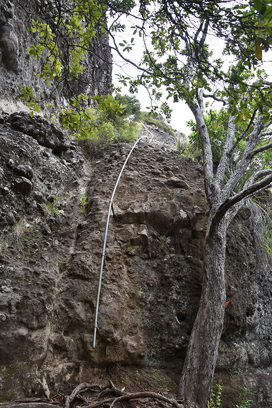
Railing up Duke’s Nose
The views were superb. Regaining the boat I cooked my xmas dinner followed by the pudding. I did some more walks whilst here and never saw another soul in the bush.

View from Duke’s Nose

View from Duke’s Nose
Whangaroa harbour
After a few days I decided it was time to head back to Whangarei but before leaving Whangaroa I explored the harbour a little and then anchored in Owhatanga Bay for the night.
I coast hopped southwards, around the outside of the Cavallis this time.
Cavalli Islands
Back in the Bay of Islands I anchored at Waewaetorea Bay, Waewaetorea Island for a quiet New years eve. New years day saw me rounding Cape Brett and down to Puriri bay, Whangaruru harbour. The last hour into here was a bit hectic with 25 knots of wind and me having full sail up, the forecast had suggested 15 knots max. As I have often found, so much for forecasts.
Percy Island Cape Brett
On then to Urquharts bay at the mouth of the Haita river, a gentle wind most of the day then suddenly a 180 deg shift and 25 knots kicking up quite a sea. With the wind on the nose it took a long time to round Bream Head and it wasn’t long before dark that I could drop the hook.
Next morning I took the flood tide up the river, it was still blowing hard but there was a bit of a respite up near Whangarei. Under the lifting bridge and thankfully there was a free berth at Riverside Drive. With a strong wind up my tail it was tricky to get in but the skipper of a neighbouring boat took my lines and I was soon all snug and secure . Good to be back in Whangarei.
by chris | Mar 2020 | UK to New Zealand
Back in Whangarei, Wendy and I did some nice walks in the Whangarei Heads area. We walked to Smugglers cove and Bream Head and also over Mt Aubrey with its dramatic pinnacles.

Smugglers Cove
Mt Aubrey
We paid a visit to Tutukaka and the marvellous coastline there walking from Matua bay to the glorious Whale bay taking in a glorious swim here.
Closer to Whangarie we walked along the Matea river to visit Whangarei falls with a swim in the pool here and a walk along the tree walk of AH Reed memorial park with its large Kauri trees.

Whangarei Falls

Wendy on bridge over Hatea river

Hugging a Kauri
All too soon Wendy’s time in New Zealand was up and I was left once again to my own devices.
The Pasifika Fusion festival provided diversion for a day with lots of dancers from the Pacific islands.
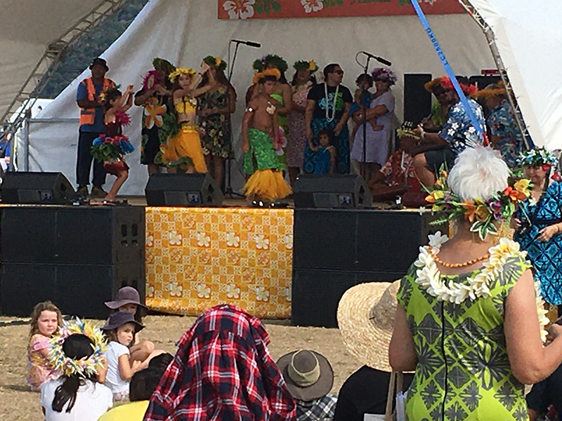
Pasifika festival
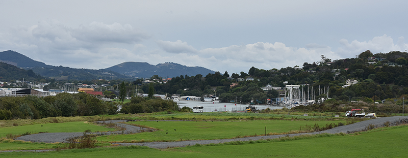
I walked the Hatea loop several times, shopped at the growers market for fresh fruit and veg, drunk Flat whites in town but also more energetically cycled the cycle track along the estuary and through the mangroves to the jetty at Onerahi.
On the Hatea loop

Waka Sculpture
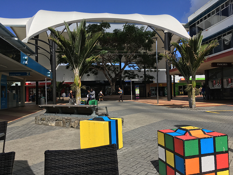
Whangarei town centre
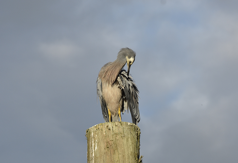
Heron preening at the marina
Another day I walked up to the Abbey caves, an area of caves and eroded limestone boulders which was interesting to explore.

by chris | Feb 2020 | UK to New Zealand

Early morning swim Hatfield beach on way from airport
Wendy had arrived for a visit, we made use of the campervan to go to the Bay of Islands music festival in Waitangi then visited Kerikeri for waterfall walks then across to Hokianga harbour and down through the Waipoua forest and the giant Kauri trees. Back in Whangarie it was time to go sailing again.
Leaving the marina just before midday, at the top of the tide, we slipped the mooring warps and headed off down the river, under the Hatea bridge and away. We anchored for the evening in Urquharts bay, cooked tea and relaxed in the cockpit with a sundowner. The forecast for the morrow looked good for the crossing to Great Barrier island with fine weather and westerlies of 10 to 15 knots. We left at first light, the weather was fine but the winds remained light all day. We did fly the cruising chute for a while but progress was to slow to ensure a daylight arrival so we ended motoring most of the 40 mile passage. Late afternoon saw us anchoring in Nimaru bay, Great Barrier Island.
We moved next morning, sailing around Maunganui point where the wind was strong and gusty and the sea a nasty slop, into the calmer waters of Port Abercrombie and thence to Forestry Bay, Port Fitzoy.
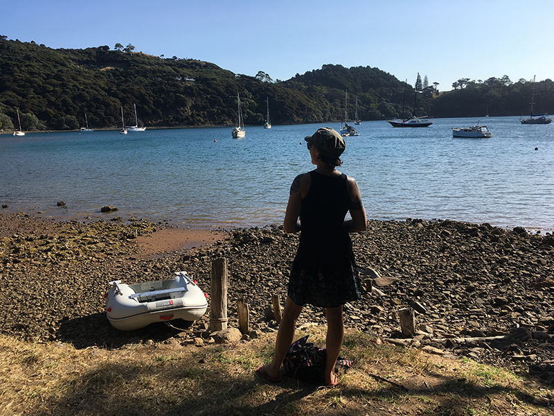
Dinghy landing Forestry bay
Here we rowed ashore and followed the Bridle track first to Port Fitzroy itself then returned to the junction with the Warren track up the waterfall. Farther than expected the timings on the track signs being a bit out. The waterfall itself was a little disappointing – reduced to a mere trickle on account of the drought. Next day a walk took us around to Kiarara bay and a walk up the old forestry road.

Forestry Bay
Back at the boat we made the short hop to anchor in Kiarara bay . It was very windy the next day so we stayed put.
Moving on again to Kiwiriki bay, a lovely bay this, rocky islands by the entrance and wooded hillside all around, no roads no houses. We did a couple of walks whilst here on the Kiwiriki track. One up towards Maungapiko and the other up to Coffin creek and thence to Kiarara bay. Other times we played about in the dinghy and on the paddleboard.

Kiwiriki bay
After a few days we moved back to Port Fitzroy, anchoring in Forestry bay again. A walk to Port Fitzroy and up to Lookout Rock rewarded us with fine views and later with bread and fruit from the shop and a delicious burger and chips on the quayside.

Lookout rock above Port Fitzroy
Great Barrier island is off grid, there are few roads and no mains power, poor or non-existant phone signal. Residents rely on catching rain water for their water supply. It is a lovely largely unspoilt place though was once heavily logged for the Kauri trees.
We could have happily stayed there longer but decided to return to the mainland whilst conditions were good. It was calm as we motored out from Port Fitzroy but later the wind kicked in a little NW at first then later it switched to West 17 knots dead on the nose then to SW.
9pm and just dark as we anchored in Uruharts bay , a long tiring passage.
Next day we took the tide back up the river to Whangarie, under the bridge and moored alongside at Riverside drive marina again.
Page 27 of 29« First«...1020...2526272829»